Titus Canyon
|
|
click photo to enlarge |
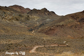
Titus Canyon is a back country road in Death Valley National Park. It's a 27
mile long drive and a high clearance vehicle is recommended. We had planned on
driving this in 2004 but our plans were changed when a big storm washed out
part of the roads in Death Valley including Titus Canyon. This time the road
was closed due to snow and ice but it was just opened a couple days before we
arrived this time. |
click photo to enlarge |
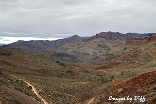
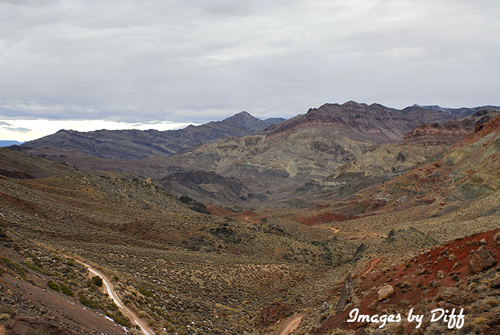
The drive starts out kind of flat in Amargosa Valley until you start
climbing the Grapevine mountains. The picture to the left is Red Pass and is
the highest point on the drive at an elevation of 5250 ft. It was really a
lousy day for taking photos. The views views were quite stunning but the
pictures don't show that very well. We are going
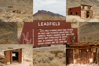
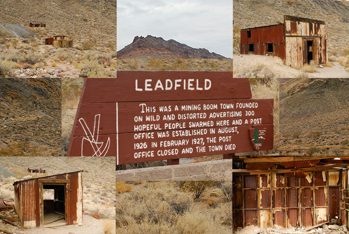
to have to go back another time now. Next up is the ruins of Leadfield,
a ghost town that lasted less then a year. |
click photo to enlarge |
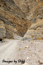
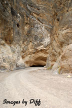
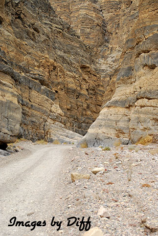
After Leadfield you finally enter Titus Canyon. Here you get to see the
forces of mother nature at work bending rock to build mountains. You can
see layers of rock just bent upwards to form the canyon. The closer you
get to the end the narrower it gets. The walls narrow to about 20 feet
apart in the narrowest places. |
click photo to enlarge |
click photo to enlarge
|
|
|
|
|
|
|
|
|
|
|
|
|

